

Consumer Insights
Uncover trends and behaviors shaping consumer choices today
Procurement Insights
Optimize your sourcing strategy with key market data
Industry Stats
Stay ahead with the latest trends and market analysis.
Trending Now


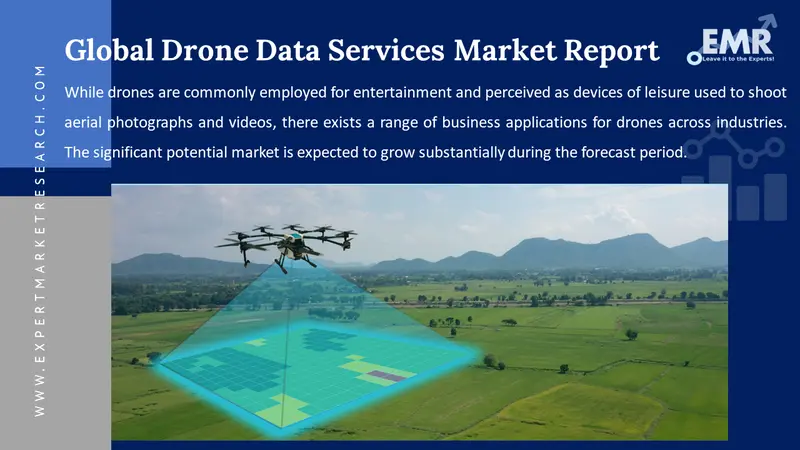
The global drone data services market reached a value of nearly USD 2.64 Billion in 2024. The market is assessed to grow at a CAGR of 31.00% during the forecast period of 2025-2034 to attain a value of around USD 39.29 Billion by 2034. The market growth can be attributed to the growing applications of drone technology in different sectors, ranging from agriculture to construction, technological advancements and innovations, the growing emphasis on sustainability, the development of autonomous drones, and the growing demand for cloud-based drone data services.
Base Year
Historical Year
Forecast Year


Value in USD Billion
2025-2034
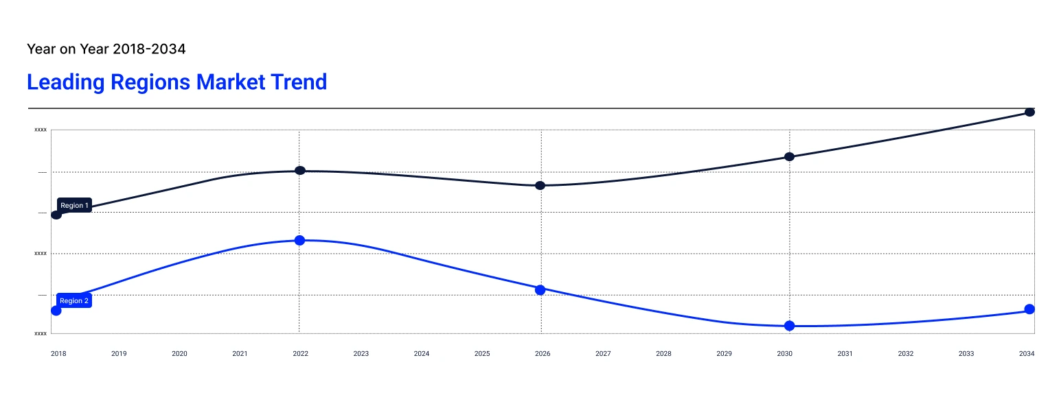
Drone Data Services Market Outlook
*this image is indicative*
The implementation of favourable regulations aimed at promoting the safe use of drones is propelling the drone data services market expansion. In August 2021, the Ministry of Civil Aviation (MoCA) in India introduced the liberalised Drone Rules, 2021 to make India a drone powerhouse by 2030. Such regulations are boosting the usage of drones across different industry verticals, ranging from agriculture to construction, driving the demand for drone data services. Moreover, the integration of drones with 5G networks and the Internet of things (IoT) aimed at creating smart ecosystems and enabling the transmission of data in real-time is fuelling the demand for drone data services and solutions.
The drone data services demand growth is being aided by the expanding applications of drones in new industries such as healthcare, insurance and risk management, and smart cities. Drone data services are increasingly leveraged to analyse data for urban planning, environmental management, and transportation in smart cities, provide real-time surveillance in healthcare settings, and support risk assessment and claims management.
Read more about this report - REQUEST FREE SAMPLE COPY IN PDF
The drone data services market expansion is being fuelled by the expansion of 5G networks. Drones are benefitting from more reliable and faster data transmission, enhancing their capabilities, particularly for remote control and real-time streaming. 5G also enables drones to effectively operate beyond the visual line of sight (BVLOS) while minimising lag and enabling autonomous operations.
There is a rising demand for customised drone solutions to meet the unique needs of specific industries or clients. Key players are developing drones with specialised payloads or sensors tailored to specific tasks such as monitoring environmental parameters, inspecting wind turbines, and mapping complex landscapes. Governments and companies are increasingly developing drones with specific payloads and sensors designed to monitor pollution, climate change, and biodiversity in real-time. Moreover, the growing demand for customised drones in the inspection of infrastructure such as skyscrapers, bridges, dams, and power lines to detect structural defects, cracks, and signs of wear in dangerous or hard-to-reach locations is aiding the market.
Rising use of drones in real-time data streaming; growing focus on sustainability; technological advancements and innovations; and the development of autonomous drones are favouring the drone data services market expansion.
The rising use of drones for real-time data streaming is creating lucrative drone data services market opportunities. Drones equipped with communication technologies, cameras, and advanced sensors are used to enable the transmission of high-quality data such as sensor readings, live video feeds, and aerial imagery in real-time. In public safety and emergency response, drones play a critical role in live surveillance, enabling teams to assess disaster zones, monitor crowd movements in real time, and search for missing persons. In industries such as energy facilities, chemical plants, or construction sites, drones provide continuous monitoring of large or high-risk areas, enabling proactive maintenance and real-time threat detection.
The growing focus on sustainability plays a pivotal role in shaping the drone data services market trends and dynamics. Drones are increasingly used to analyse air pollution and pollen count of the atmosphere, and the data collected is used to launch alerts, monitor ecosystems and wildlife, track biodiversity, measure the effects of climate change, and develop scientific studies. For instance, in October 2024, the Ministry for Climate and the Environment of Sweden, the Ministry of Science of Colombia, Saab, EAFIT University in Colombia and KTH Royal Institute of Technology presented a new Combat Climate Change (C-3) UAV Project to collect data for climate monitoring. The UAV is equipped with specialised sensors and is deployed to measure greenhouse gas concentrations, such as methane and CO2, and other pollutants and aerosols in the atmosphere. Moreover, drones equipped with high-resolution videos, thermal cameras, and infrared sensors are used to inspect and monitor renewable energy infrastructure, such as wind turbines and solar panels, improve operational efficiency, reduce maintenance costs, and detect faults early. For instance, utility companies can reduce inspection costs by up to 50%-70% through the utilisation of drones.
Technological advancements and innovations are revolutionising the drone data services market landscape. The development of advanced payloads and sensors such as hyperspectral and multispectral sensors, thermal sensors, and high-resolution cameras with enhanced data collection capabilities and accuracy is propelling the market. There is a rising integration of artificial intelligence and machine learning in drone data processing platforms to analyse vast amounts of data in real time, automate time-consuming processes, and extract valuable insights. AI and ML-integrated drone processing platforms are expected to automatically identify drone imagery, lower the potential for human error, detect anomalies in aerial data, facilitate predictive maintenance, and provide real-time analytics for applications like monitoring, surveillance, and security.
The development of autonomous drones that can perform complex tasks without human intervention is revolutionising the drone data services market landscape. Autonomous drones, powered by advanced sensors and AI, make data collection faster, cost-effective, and more consistent. Autonomous drones improve the quality and accuracy of data, especially in sectors like construction, agriculture, and infrastructure inspection. Moreover, they automate data analysis and flight paths, reducing human errors and improving precision for tasks like environmental monitoring, surveying, and mapping. In the forecast period, emerging applications of autonomous drones in sectors such as telecommunication, energy, construction, logistics, and agriculture, among others, are anticipated to fuel the market expansion.
The drone data services demand forecast is being significantly influenced by the growing emphasis on sustainability and ongoing technological advancements. Drones are increasingly used for environmental monitoring, such as analysing air pollution, biodiversity, and the effects of climate change, with projects like the Combat Climate Change (C-3) initiative in 2024 leveraging UAVs to measure greenhouse gases and pollutants. Additionally, drones equipped with thermal cameras and infrared sensors are helping monitor and maintain renewable energy infrastructure like wind turbines and solar panels, reducing inspection costs and improving operational efficiency. On the technology front, innovations in advanced sensors (e.g., hyperspectral, multispectral, and thermal sensors) and the integration of AI and machine learning into data processing platforms are revolutionising the market. These advancements enable real-time data analysis, automated processes, and enhanced accuracy, allowing for better anomaly detection, predictive maintenance, and more efficient monitoring across various applications, including surveillance and security.
The growing popularity of Drone-as-a-Service (DaaS) model that offers flexibility, lower upfront costs, and enables businesses to access drone technology without needing in-house expertise is providing lucrative drone data services market opportunities. The DaaS model enables businesses, particularly small and medium-sized enterprises (SMEs) to access drone technology without the large capital expenditure and offer specialised drone services tailored to specific industries.
Drones are increasingly used for surveillance and security applications, providing real-time monitoring of chemical infrastructures. The use of sensors, advanced cameras, and thermal imaging to enable drones to efficiently detect security threats is also aiding the market. Security-focused drone solutions provide real-time surveillance and detect security threats in high-risk environments, such as hazardous or chemical facilities to enhance risk and safety management.
The expansion of drone operations is surging the focus on improving safety measures, especially collision avoidance systems. Drones are increasingly equipped with more advanced sensors, AI systems, and radars to avoid obstacles and safely navigate in complex environments.
The drone data services market growth is impeded by complex airspace regulations like no-fly zones and restrictions on flight altitudes. The collection of visual data by drones, particularly in densely populated areas makes it vulnerable to data hacking, theft, and loss, raising concerns regarding data protection and privacy.
Drones used for large-scale surveying have limited battery life and range, constraining the area covered in a single flight. Besides, drones, especially those equipped with advanced tools like LiDAR and thermal imaging, have high initial investments and require regular maintenance, software updates, and sensor calibration, limiting their usage among small and medium-sized enterprises (SMEs).
Read more about this report - REQUEST FREE SAMPLE COPY IN PDF
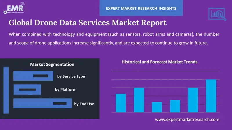
The EMR’s report titled “Global Drone Data Services Market Report and Forecast 2025-2034” offers a detailed analysis of the market based on the following segments:
Market Breakup by Service Type
Market Breakup by Platform
Market Breakup by End Use
Market Breakup by Region
By Service Type Insights
Surveying and mapping represent a significant share of the drone data services market. Drone data provides a cost-effective, highly efficient, and precise measure to collect geospatial data, making mapping and surveying more accurate, faster, and accessible, particularly for difficult-to-reach areas. Drones equipped with LiDAR sensors, thermal cameras, and multispectral sensors are widely used for agricultural mapping, vegetation surveys, infrastructure inspection, forestry mapping, and environmental monitoring.
As per the drone data services market analysis, data collected by drones are used in photogrammetry to measure distances and create detailed maps or models, extract precise measurements, generate 3D models, and create point clouds. Meanwhile, drone data is extensively used to generate 3D and digital elevation models and create digital representations of structures, landscapes, and terrains cost-effectively and accurately. 3D models and DEMs play an essential role in site surveying and designing buildings, bridges, roads, and other infrastructure, optimising mining operations, and creating detailed models of excavation sites and historical structures.
By Platform Insights
Cloud-based platforms store drone data on remote servers, enabling users to analyse, access, and process data through mobile apps or web interfaces. Such platforms allow users to collaborate and access data remotely while facilitating easy scalability of storage and computational power. The integration of advanced tools in cloud-based platforms for 3D modelling, image processing, and terrain analysis, among others, is shaping the drone data services market trends and dynamics.
Meanwhile, operator software is directly installed on drone operators’ devices like tablets, laptops, and smartphones and manages the flight and processes data on-site. Operator software solutions facilitate automated flight paths and lower the workload of drone operators while improving flight safety and efficiency. Some benefits of operator software solutions include enhanced control and precision over flight planning, data collection parameters, and camera settings, immediate access to data, and cost-effectiveness.
By End Use Insights
Due to its ability to capture high-resolution aerial imagery, streamline workflows, and provide real-time decision-making and project management insights, drone data is increasingly used in the construction and real estate sectors. Drone data services are also used to survey and map construction sites, monitor project progress, and inspect difficult-to-reach areas like bridges, roofs, and high-rise structures. Realtors leverage drone data services to provide investors with a comprehensive view of the property, create virtual tools, and enhance property listing and promotional materials.
The drone data services market expansion is being fuelled by the growing utilisation of drone technology in security and law enforcement activities. Law enforcement and security agencies use drone data for real-time aerial surveillance, monitoring critical infrastructure, and patrolling vast and remote areas. The integration of 3D mapping software and advanced sensors and cameras in drones makes drone data pivotal in search and rescue missions, crime scene investigations, and night operations.
Drones with hyperspectral or multispectral cameras are used in the agricultural sector to capture detailed images to support farmers detect diseases, monitor crop health, and identify nutrient deficiencies. Drones equipped with sensors are increasingly used to assess soil conditions and provide insights about textures, moisture levels, and overall soil health. The cost-efficiency of drone data services as compared to traditional methods like manual surveys or satellite imagery is further aiding the market.
Conversely, drones are used in mining applications to improve worker safety, lower the cost of surveying, stockpile monitoring, and inspections, and enhance decision-making and resource allocation.
North America Drone Data Services Market Outlook
Evolving regulations in the region that support beyond-visual-line-of-sight (BVLOS) operations are encouraging businesses across diverse sectors to utilise drones for data collection. The increasing venture capital investments in drone technology startups are further propelling the North America drone data services market expansion. In May 2024, US-based drone technology startup Neros raised USD 10.9 million in a seed round led by Sequoia Capital to capitalise on the growing demand for drones in the Russia-Ukraine conflict. Moreover, there is a rising use of drones in collecting data related to weather such as wind speed, temperature, humidity, and barometric pressure. In August 2022, Saildrone Inc., in partnership with NOAA, deployed seven ocean drones to collect data during the 2022 hurricane season in order to improve hurricane forecasting.
Europe Drone Data Services Market Analysis
Regulations such as the European Union’s U-Space framework aimed at managing drone traffic and making operations safer and more efficient are favouring the Europe drone data services market outlook. With the growing trend of sustainability, drones are increasingly utilised for environmental monitoring and sustainability initiatives like managing natural resources, tracking carbon emissions, and assessing the impacts of climate change. Moreover, the growing deployment of drones in public safety applications, including disaster management, search and rescue missions, and monitoring large events is propelling the market expansion.
Asia Pacific Drone Data Services Market Growth
The robust growth of the agricultural sector in the region is providing lucrative drone data services market opportunities. Over 2.2 billion people rely on agriculture for their livelihoods in the Asia Pacific. The surging adoption of precision farming techniques amid reducing arable land and growing food demand are driving the demand for drone data services and solutions in the region. Besides, the increasing development of smart cities in the region is surging the utilisation of drones for traffic management, infrastructure monitoring, and environmental assessments. In August 2024, the Indian government invested USD 3.41 billion and approved 12 new smart city projects under the National Industrial Corridor Development Programme (NICDP) to create 1 million direct and 3 million indirect jobs.
Latin America Drone Data Services Market Overview
The Latin America drone data services market growth can be attributed to the increasing adoption of drones across different industries for applications such as mapping, aerial surveys, and inspections. Advancements in drone technology, such as longer battery life, enhanced sensors, and improved software for data processing and analysis, are further aiding the market growth. In the region, the agricultural sector is one of the leading adopters of drone services. The increasing utilisation of drones in collecting real-time data to optimise yields, lower operation costs, and improve efficiency is expected to fuel the market in the coming years.
Middle East and Africa Drone Data Services Market Drivers
As per the drone data services market regional analysis, the commercial and industrial sectors in the Middle East and Africa are adopting drones for different applications such as mapping, surveillance, agriculture, and infrastructure inspection, among others. Drones provide businesses with efficient ways to collect data, improve decision making processes, and monitor operations. Governments in the Middle East and Africa are increasingly recognising the benefits of drones and investing in infrastructure and regulatory frameworks to support the growth of drone technologies, further aiding the market.
Key drone data services market players are extensively investing to enhance their technological capabilities, improve their offerings, and expand their market share. Drone data services companies are also integrating artificial intelligence and machine learning to automate analytics, improve data processing capabilities, and enhance accuracy.
Pix4D SA, founded in 2011, is a prominent Swiss company that specialises in drone-based mapping solutions and photogrammetry software. Some of its products and services include Pix4Dmapper, Pix4Dfields, Pix4Dsurvey, Pix4Dscan, Pix4Dmodel, Pix4Dcloud, and Pix4Dinspect, among others. Its products and services are used in engineering, surveying, mining, agriculture, construction, and environmental management, among others.
PrecisionHawk, Inc., founded in 2010 and headquartered in North Carolina, United States, is a leading provider of drone-based data collection and analytics services. Its comprehensive platform is used by businesses for aerial data capture, analysis, and processing. The company serves different end-use sectors such as construction, agriculture, insurance, and energy, among others.
DroneCloud, headquartered in the United Kingdom, is a leading provider of cloud-based platform that enables users to manage, process, and analyse drone-collected data efficiently. Its services and solutions are used in sectors such as construction, agriculture, surveying, and energy.
Sentera Inc., established in 2014 and headquartered in St. Paul, Minnesota, offers drone data services including aerial imagery, analytics, and sensor solutions for precision agriculture.
*Please note that this is only a partial list; the complete list of key players is available in the full report. Additionally, the list of key players can be customized to better suit your needs.*
Other key player in the drone data services market is Skycatch, Inc., among others.
*While we strive to always give you current and accurate information, the numbers depicted on the website are indicative and may differ from the actual numbers in the main report. At Expert Market Research, we aim to bring you the latest insights and trends in the market. Using our analyses and forecasts, stakeholders can understand the market dynamics, navigate challenges, and capitalize on opportunities to make data-driven strategic decisions.*
Get in touch with us for a customized solution tailored to your unique requirements and save upto 35%!
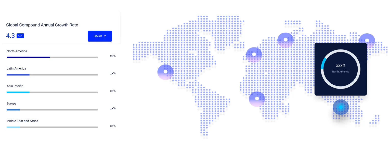
The market is projected to grow at a CAGR of 31.00% between 2025 and 2034.
The major drivers of the market include the rising usage of data collected by drones in operational and big data analytics, technological advancements in the IoT and AI, surging popularity of cloud-based drone data services, shifting inclination toward precision agriculture, and product innovations.
The growing applications of drone technology in various sectors and widespread adoption of drones in commercial sectors are the key industry trends propelling the market's growth.
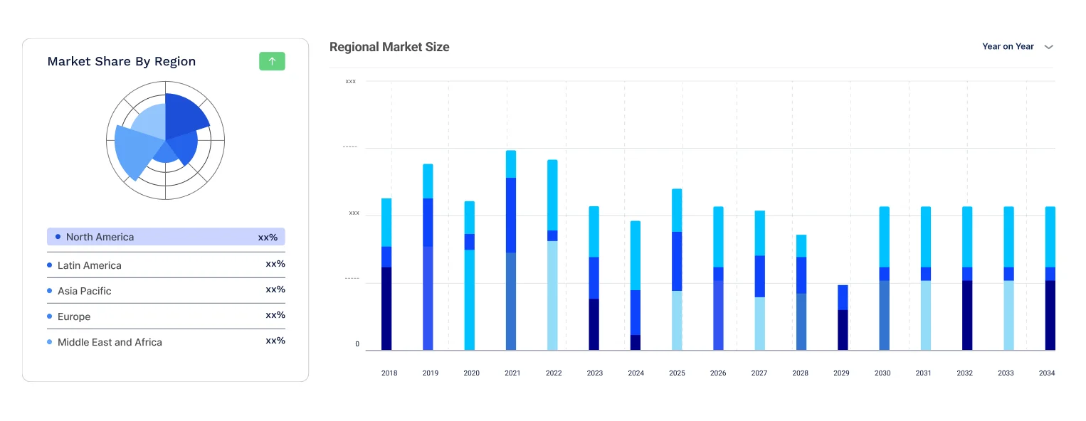
The major regions in the industry are North America, Latin America, the Middle East and Africa, Europe, and the Asia Pacific.
The different service types are mapping and surveying, photogrammetry, and 3D modelling and digital elevation model (DEM), among others.
Based on platform, the market is divided into cloud-based and operator software.
The end-uses are real estate and construction, security and law enforcement, agriculture, and mining, among others.
The major players in the industry are Pix4D SA, PrecisionHawk, Inc., DroneCloud, Sentera Inc., and Skycatch, Inc., among others.
In 2024, the market reached an approximate value of USD 2.64 Billion.
The market is estimated to witness healthy growth in the forecast period of 2025-2034 to reach a value of around USD 39.29 Billion by 2034.
Explore our key highlights of the report and gain a concise overview of key findings, trends, and actionable insights that will empower your strategic decisions.
| REPORT FEATURES | DETAILS |
| Base Year | 2024 |
| Historical Period | 2018-2024 |
| Forecast Period | 2025-2034 |
| Scope of the Report |
Historical and Forecast Trends, Industry Drivers and Constraints, Historical and Forecast Market Analysis by Segment:
|
| Breakup by Service Type |
|
| Breakup by Platform |
|
| Breakup by End Use |
|
| Breakup by Region |
|
| Market Dynamics |
|
| Competitive Landscape |
|
| Companies Covered |
|
| Report Price and Purchase Option | Explore our purchase options that are best suited to your resources and industry needs. |
| Delivery Format | Delivered as an attached PDF and Excel through email, with an option of receiving an editable PPT, according to the purchase option. |
Single User License
One User
USD 3,999
USD 3,599
tax inclusive*
Datasheet
One User
USD 2,499
USD 2,249
tax inclusive*
Five User License
Five User
USD 4,999
USD 4,249
tax inclusive*
Corporate License
Unlimited Users
USD 5,999
USD 5,099
tax inclusive*
*Please note that the prices mentioned below are starting prices for each bundle type. Kindly contact our team for further details.*
Flash Bundle
Small Business Bundle
Growth Bundle
Enterprise Bundle
*Please note that the prices mentioned below are starting prices for each bundle type. Kindly contact our team for further details.*
Flash Bundle
Number of Reports: 3
20%
tax inclusive*
Small Business Bundle
Number of Reports: 5
25%
tax inclusive*
Growth Bundle
Number of Reports: 8
30%
tax inclusive*
Enterprise Bundle
Number of Reports: 10
35%
tax inclusive*
How To Order
Our step-by-step guide will help you select, purchase, and access your reports swiftly, ensuring you get the information that drives your decisions, right when you need it.

Select License Type
Choose the right license for your needs and access rights.

Click on ‘Buy Now’
Add the report to your cart with one click and proceed to register.

Select Mode of Payment
Choose a payment option for a secure checkout. You will be redirected accordingly.
Track prices with detailed trend reports.
Analyse trade data for supply chain insights.

Leverage cost reports for smart savings
Enhance supply chain with partnerships.

Gain insights to stay ahead and seize opportunities.
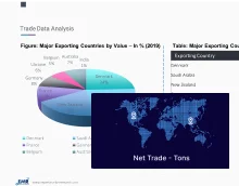
Get insights & trends for a competitive edge.
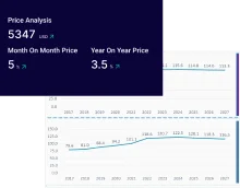
Track prices with detailed trend reports.
Analyse trade data for supply chain insights.
Leverage cost reports for smart savings
Enhance supply chain with partnerships.
Gain insights to stay ahead and seize opportunities.
Get insights & trends for a competitive edge.
Track prices with detailed trend reports.
Analyse trade data for supply chain insights.
Connect For More Information
Our expert team of analysts will offer full support and resolve any queries regarding the report, before and after the purchase.
Our expert team of analysts will offer full support and resolve any queries regarding the report, before and after the purchase.
We employ meticulous research methods, blending advanced analytics and expert insights to deliver accurate, actionable industry intelligence, staying ahead of competitors.
Our skilled analysts offer unparalleled competitive advantage with detailed insights on current and emerging markets, ensuring your strategic edge.
We offer an in-depth yet simplified presentation of industry insights and analysis to meet your specific requirements effectively.
Australia
63 Fiona Drive, Tamworth, NSW
+61-448-061-727
India
C130 Sector 2 Noida, Uttar Pradesh 201301
+91-723-689-1189
Philippines
40th Floor, PBCom Tower, 6795 Ayala Avenue Cor V.A Rufino St. Makati City,1226.
+63-287-899-028, +63-967-048-3306
United Kingdom
6 Gardner Place, Becketts Close, Feltham TW14 0BX, Greater London
+44-753-713-2163
United States
30 North Gould Street, Sheridan, WY 82801
+1-415-325-5166
Vietnam
193/26/4 St.no.6, Ward Binh Hung Hoa, Binh Tan District, Ho Chi Minh City
+84-865-399-124
United States (Head Office)
30 North Gould Street, Sheridan, WY 82801
+1-415-325-5166
Australia
63 Fiona Drive, Tamworth, NSW
+61-448-061-727
India
C130 Sector 2 Noida, Uttar Pradesh 201301
+91-723-689-1189
Philippines
40th Floor, PBCom Tower, 6795 Ayala Avenue Cor V.A Rufino St. Makati City, 1226.
+63-287-899-028, +63-967-048-3306
United Kingdom
6 Gardner Place, Becketts Close, Feltham TW14 0BX, Greater London
+44-753-713-2163
Vietnam
193/26/4 St.no.6, Ward Binh Hung Hoa, Binh Tan District, Ho Chi Minh City
+84-865-399-124


Share